
 Click upon, of course, to see it bigly.
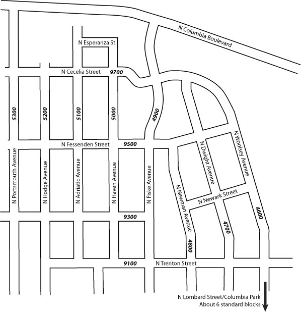
Tired of trying to find a single official map of the area called "New Columbia", I visited the invaluable PortlandMaps.com and used those maps (your tax dollars at work, people!) to create my own map of the area.
Looking at an old map of the area, Woolsey Avenue and Wollsey Court made big lazy loops that looked kind of like a big lima bean. All that is gone now, replaced by a compact little grid bend a little askew from the cardinal directions. Not a bad idea, really; I understand the area is very lovely now.
The map was built in Adobe Illustrator CS2
No comments:
Post a Comment