1422. Important Disclamer: No Hoffs were hassled in the production of this discourse. Though, even now, we'd still like a chance at Suzannah. We digress.
The party over, the Hoffs hassled, we embark on Sunday (a bit later than we'd hoped; my colleagues demonstrated an inexplicable compulsion to attend the Matins herald meeting), intending to try and at least make the Willamette Valley before sundown. We only got as far as the Sonic at Central Point, but never mind that now.
It's important to point out that we were in fact, in Gullyvornia, the real place. There's one thing that just can't be faked (take my word for it, in this age of digital photos); and thats ...
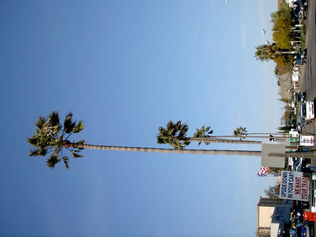
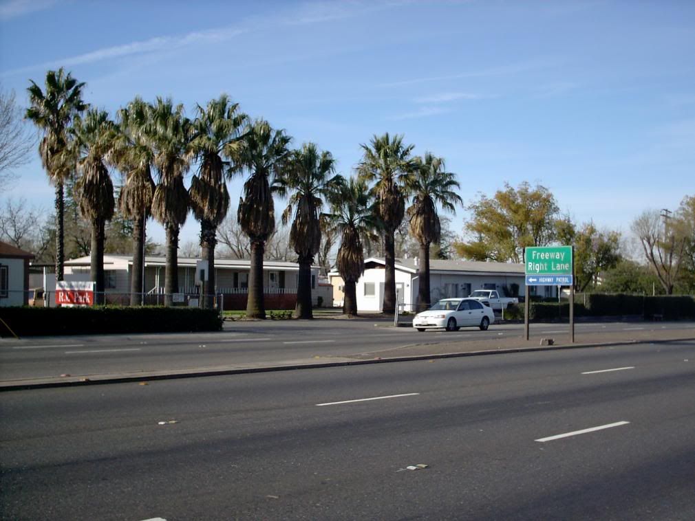
Palm trees. Palm tress along Date Avenue; palms in front of a trailer park on Madison Avenue:
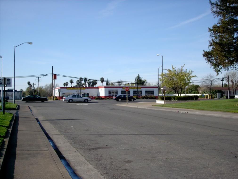
Palm trees in the distance over the (would you believe it) Les Schwab Tire Center.
Yes. Palm trees; we haz them. And you can depend on it that we were actually in California. Why, my digestion was so knocked out of whack, I came back with a case of Schwarzenegger's Revenge that only now am I getting over. This was over a week ago. My crack is just about to forgive me, which takes us into "uh-oh" feeling territory, so we'll move on.
But that Les Schwab Tire Center with palms in the background will always have ironic punch to me.
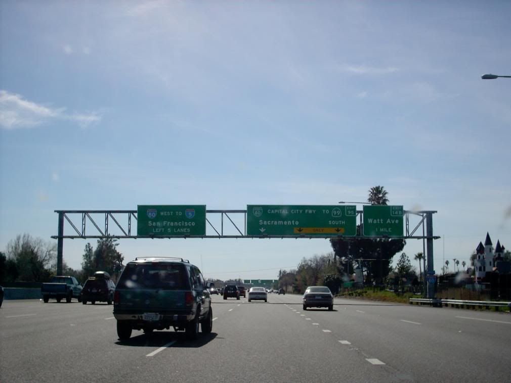
From the Madison Avenue exit, we proceed west on I-80, which curves in an arc not unlike that described by Geraldo Rivera's hairdo over the north side of Sacramento. That was the idea, anyhow. But me, the master navigator, panicked at this point:
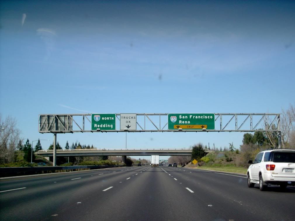
Gah. Which way to The 5 north? Well, were not going to San Fran (sadly), so stay in this lane, Ciaran, says I.
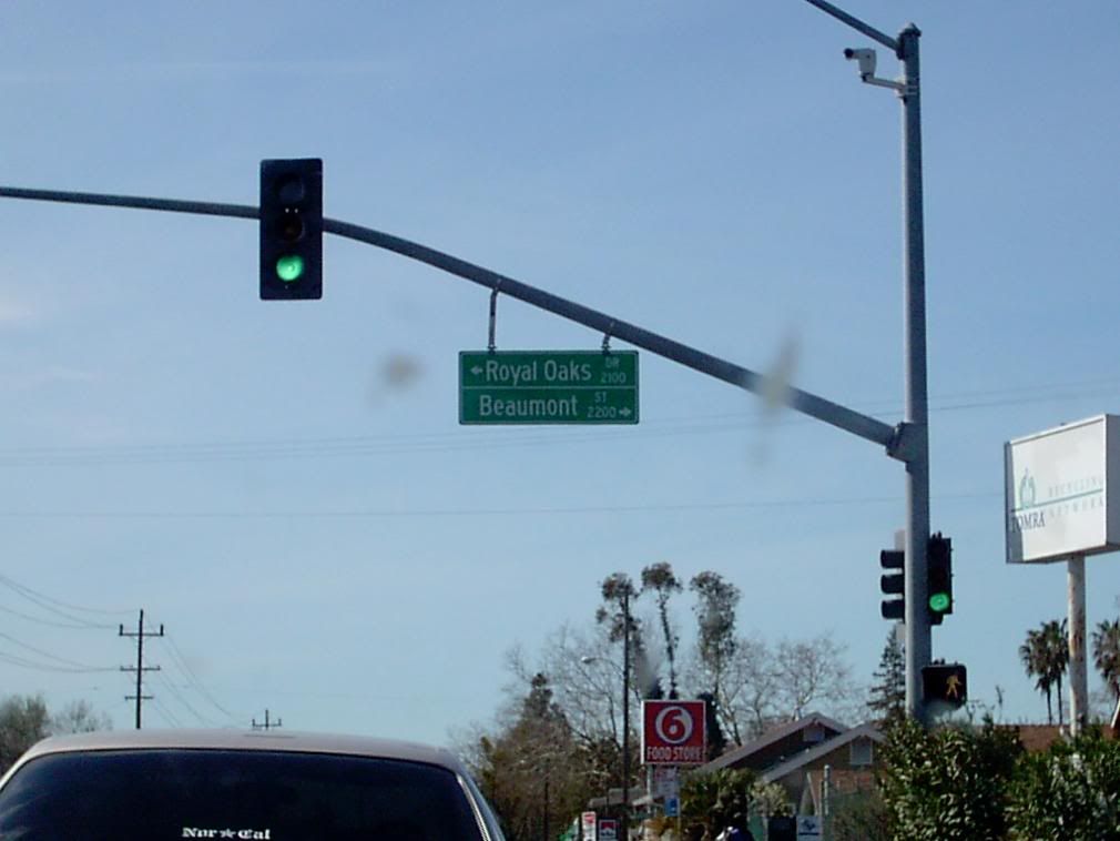
Wrong. The "Capital City Fwy". goes south into central Sac. Now I'm torn. I'm looking on the map for the right cutoff while a corner of my mind is thinking maybe I'll get a snap of the Sacratomato skyline! That cutoff came in the form of a trafficway that started out as Arden Way and became a link with the trippy name of the Arden-Garden Connector. Long story short; it did the job. I did get to see actual Scacramento streets, but no stoplight got me into the position to snap any street blades, though I did get this gantry sign:
Which is a good idea of how a normal Sacramento blade looks but withough the arrows.
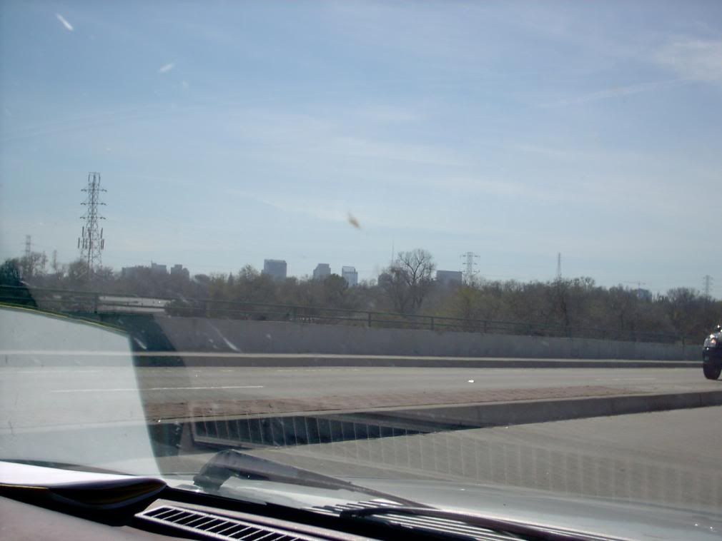
As the trafficway swung closer to the park on the north side of the American River, there was a overpass and then ... the Sacramento skyline.
Not destined to go down in the history of great skyline pictures. Actually, for a city of 450,000 (give or take), it's kinda ... well, tame. No hatin, my Sacramento bretheren and sistern. Just sayin'.
We were back on The 5 in short order, and not too far out of our way really:
We're on the way. Home is far over the horizon, but it's that way.
The Sacramento Valley impressed me as just like the Willamette Valley, but much more muscular. The Valley floor seemed wider and flatter; Cali's Coast Range seemed more massive; the Sierra Nevada seemed farther away from the freeway and much more massive than the Cascades.
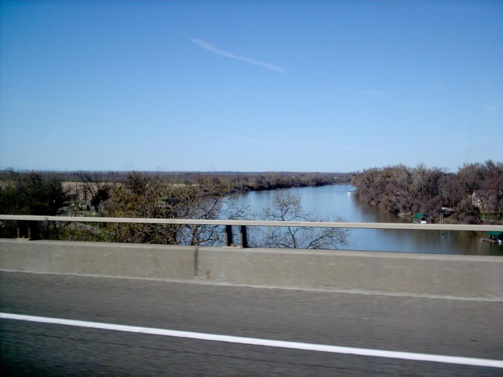
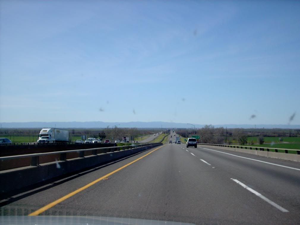
The course of The 5 also seems counterintuitive. After going NW out of the center of Sac it turns dead west after passing the Arco Arena and goes for about 10 miles. Past the Sacramento River:
and along a very long bridge over the floodplains:
That line of hills in the distance is the Coast Ranges. As we passed Woodland, CA, the road angled northward and began doing the logical thing.
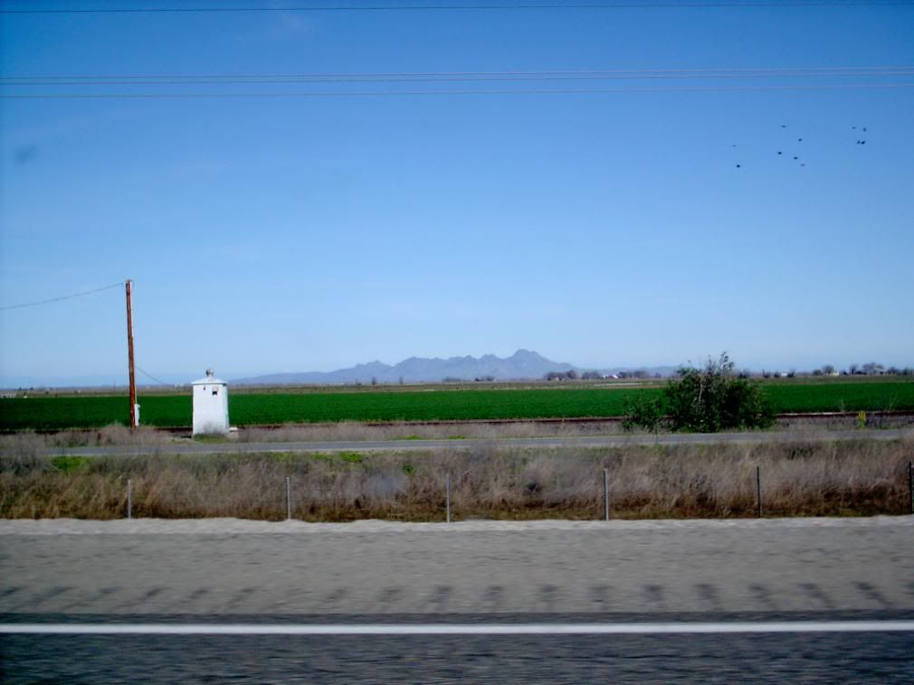
We passed field after field, silo after silo. The Sacramento Valley is relentlessly agricultural, even more so than the Willamette Valley. But my eyes were cast off to the east, for I was advised by a hale fellow herald that a sight to see was something called the Marysville Buttes ... with the repute of the smallest mountain range in the world.
They are also called the Sutter Buttes. Wikipedia has this to say about them:
The Sutter Buttes, also known as the Marysville Buttes or Histum Yani (Maidu), are a small circular complex of eroded volcanic lava domes which rise above the flat plains of the California Central Valley, USA. The highest peak, South Butte, reaches about 2,130 feet (650 m) above sea level. The Buttes are located just outside of Yuba City, California in the Sacramento Valley, the northern part of Central Valley
And, significantly, this:
The mountains are about 10 miles (16 km) across from north to south and east to west, and are the smallest mountain range in the world
They hove into view within the hour from the picture above.
The valley after this was a two-edged blade; beautiful yet dull. I do now know where most of America's olive trees and almond trees are.
Qumana is starting to complain about the length of this post, so this well be part one. Read the next entry for part 2.
Tags: Wack Vack, Sacramento Valley, Sutter Buttes, Sacramento, Marysville Buttes, The 5
Powered by Qumana

No comments:
Post a Comment