1415. After aquiring our fifth at I-5 Exit 228 (and burning a bit of daylight, and getting a crappy AmericanMap Road Atlas), we were off and away. Blew by Eugene pretty quickly (but there's plenty of construction down there).
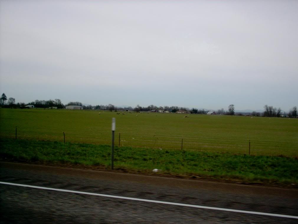
The thing about Eugene is that it's at the end of the Willamette Valley. It's easy to conceptualize but for me, as an inveterate sightseer, the valley gives out quite abruptly. It's like going from air to water.
A landscape like this:
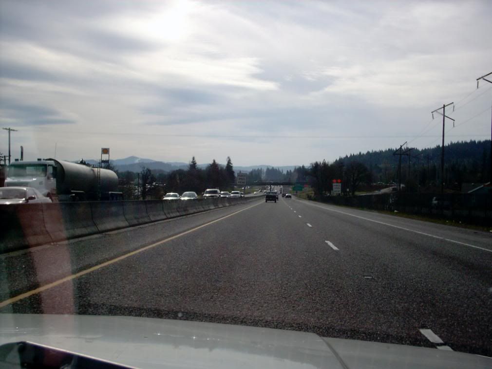
... quickly gives way to landscapes like this:
And it just gets more so. An honest look at a physical relief map of western Oregon indicates that the part of Oregon most people think of when they think of Oregon – the Willamette Valley, actually occupies less than half of the "forest belt" (as they called in in our parents' and grandparents' time, the area west of the Cascade crest, is Valley.
Admittedly, that's just my perception. But Oregon's throbbing population and cultural center, the Willamette Valley, is really just a mere slice of the whole State of Oregon. As a kid sprung from that fertile ground we called the Mid-Willamette Valley, the Valley is more than the center of my world; it is my world. And now, even though I'm still in my home state, I feel as though I'm in a completely different world; one with much more relief, where the mountains aren't off on the horizon but right up in your face pretty much all of the time.
Towns have tight hinterlands because they themselves are in small places. It's charming and beautiful and has striking geography. You come round bends in the road to be rewarded with long vistas as the highway bottoms out and ascends into the next range of hills.
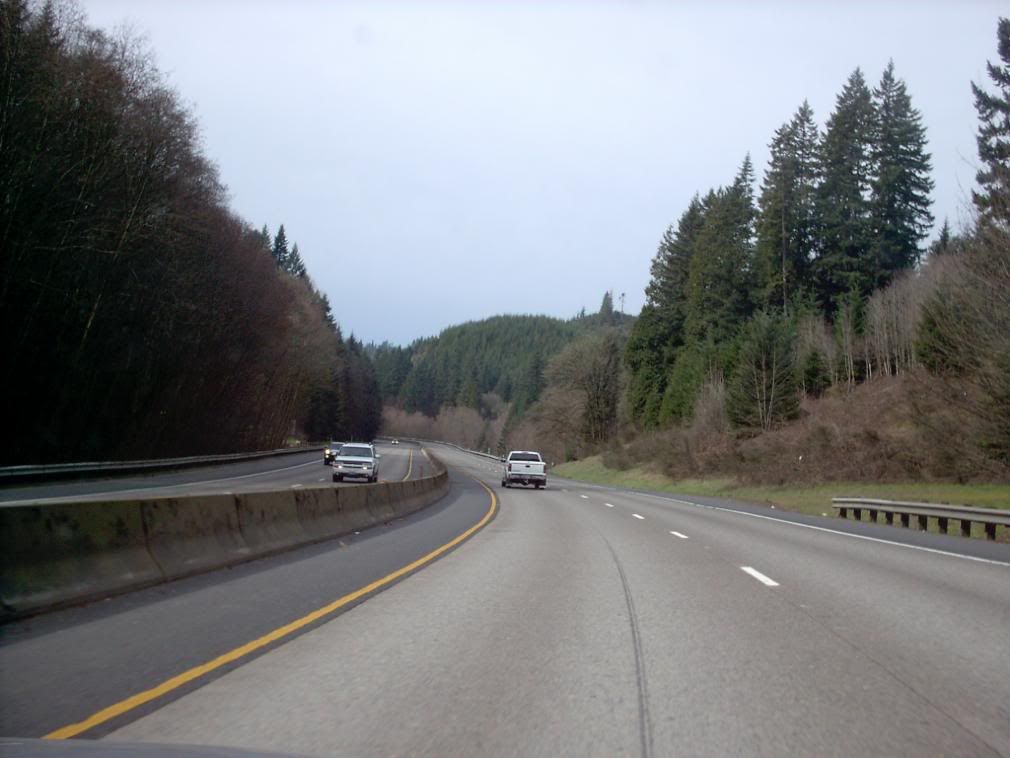
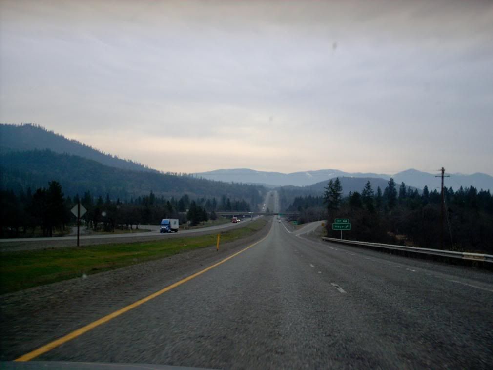
The road in southwestern Oregon is typically like this:
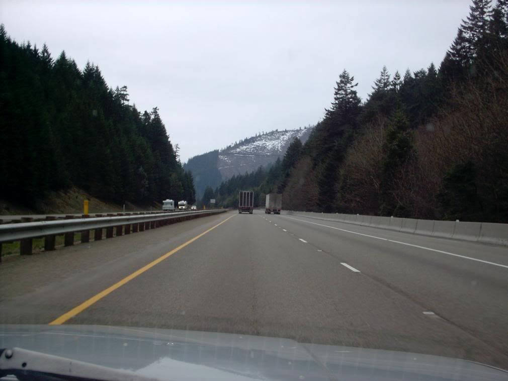
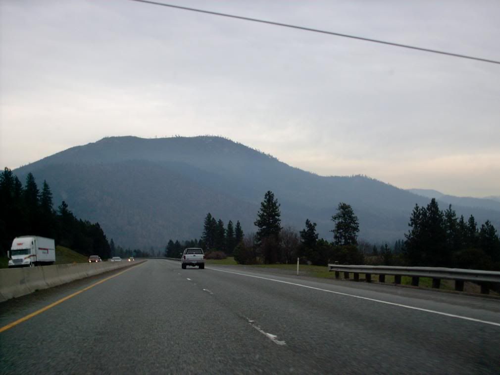
And also like this:
And this:
This too:
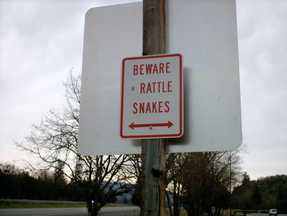
While the trip through southwest Oregon isn't short, it's hardly boring. Even if you can't get out of the car much, your eyes never get bored. But when you do get out of the car you see things you don't see around home:
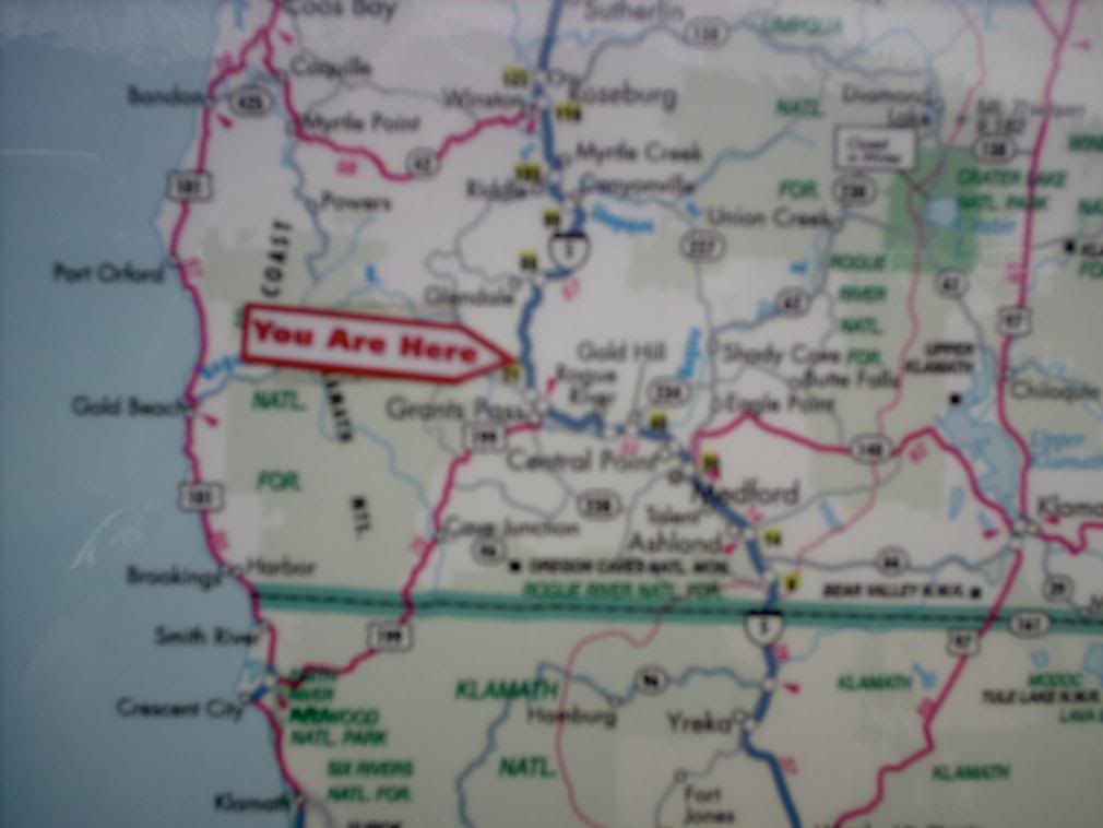
This sign, at the rest stop at MP 61 on I-5 north of Grants Pass, seems like wise counsel. We were here:
From here, The 5 skates along the north side of GP and down the Rogue gulch, eventually downgrading into the Bear Creek Valley, wherein lies Oregon's great southwest metropolitan area – Medford.
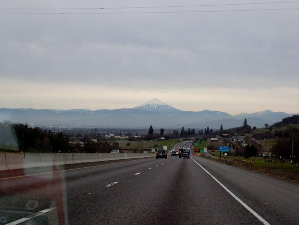
But coming into that valley, I saw something I'd not seen before – a very interestingly shaped mountain ... Mount McLoughlin.
That's 9000 feet of probably extinct volcano. There's a big glacial cirque carved out of it, but that's on the other side. From Medford it's a beautful drawn-up cone.
Speaking of cones, we finally had our first taste of the Sonic – at the Central Point exit. I liked the jalapeño burger, but I remain unimpressed by the American cheese. In Oregon, we can do better. Tillamook cheddar, to be exact.
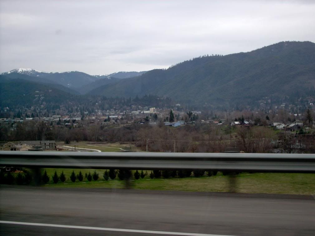
After passing Ashland:
... The 5 surmounted the Siskiyou summit, the most astounding upgrade this side of the Cabbage. On into terra incognita Californica.
Which is for the next chapter.
Tags: I-5, Southwestern Oregon, Siskiyou Mountains, Medford, Ashland, Mount McLoughlin
Powered by Qumana

No comments:
Post a Comment