1414. As I menched in article the last, I'm going to divide the Sacramento scenery into pieces parts because if I make these things too long then I b0rk3ena7e Qumana, and I don't want to do that.
Qumana is the stuff, no doubt about that, though. Just don't make the posts too long. Probably a good idea anyway ....
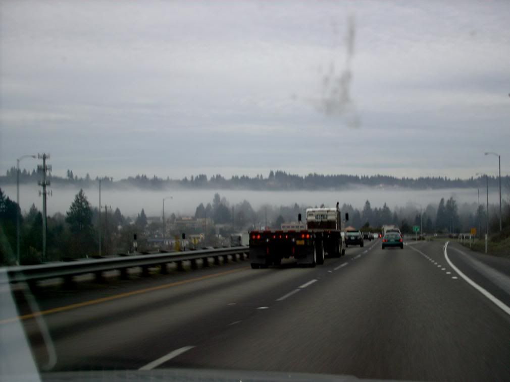
Anyway! Our journey began here at the humble Sonnenhurhaus around 0730. We met with our carpool buddy and got started down I-205. As we passed through West Linn we were treated to a beautiful mist deck between the clouds and the ground over the Willamette district:
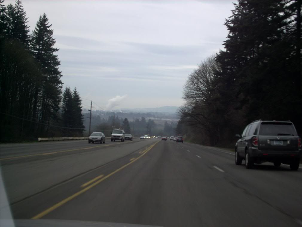
Thence to I-5, Nyberg Rd, Tualatin-Sherwood Rd, and Pacific Hwy. Coming down into Newberg after crossing the line into Yamhill County, the downgrade on Rex Hill gives a long view too:
Acquiring our fourth in Newberg we proceeded southward across the Willamette River and into Marion County. South on River Rd NE to west on Ehlen Rd NE, our point of intersection was to be the Aurora/Donald exit (the one with the big TA Truck Stop).
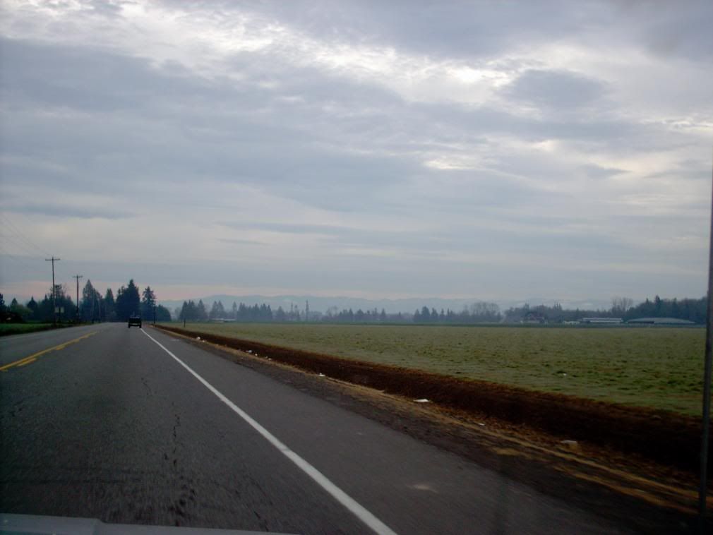
Although home to a Big Town (Oregon style), Marion County is Oregon's largest agricultural county. So, no matter how big Snailem gets, this to me will always be Marion County – the place where I was born. Yes, I am a country mouse a heart.
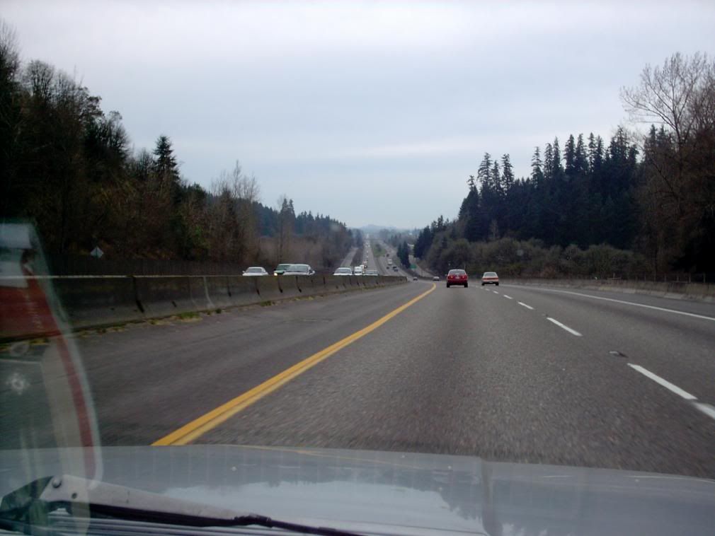
South on I-5, past the Capital City, and into downstate Willamette land. When leaving the Salem Hills, the road flattens out and gives another long view. It's interesting in daylight, but beautiful at night, with the car lights stretching away into the far distance.
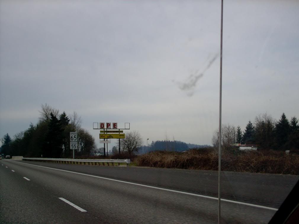
Just over the Santiam River and the Linn County line, there's a little rural exit with the signpost "Dever-Connor". There's a beat-up, forlorn, semi-abandoned gas station-quick shop that has seen many owners over the years, and many names. Originally a TEXACO during the Golden Age of the Interstate™, it had at one time had those letters spelling EXACTO, then eventually just OPEN, and now just OPE. And no auto serrvices until Albany, which is still ahead.
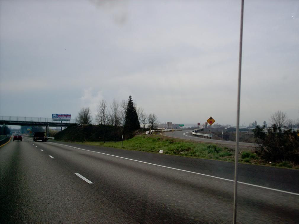
Just past the next exit, which is the road to Jefferson, we see in the distance the one landmark everyone "nose" Albany by. When I was growing up and we were always going to Albany to visit our my aunts, uncles, and cousins who, for some still-unexplained reason always lived around Albany, we called it "the smell of money". To me, it smelled (and still does) like deviled ham (probably a genetic defect), so the paper mills made me hungry. I love deviled ham. Some things, you just don't question.
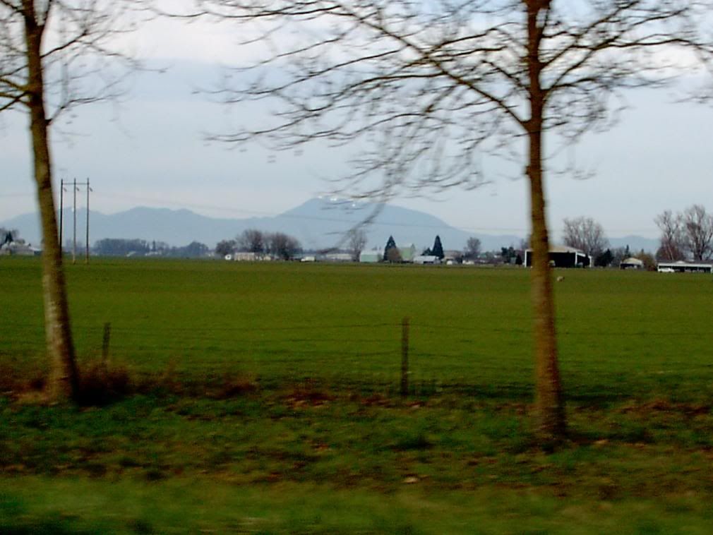
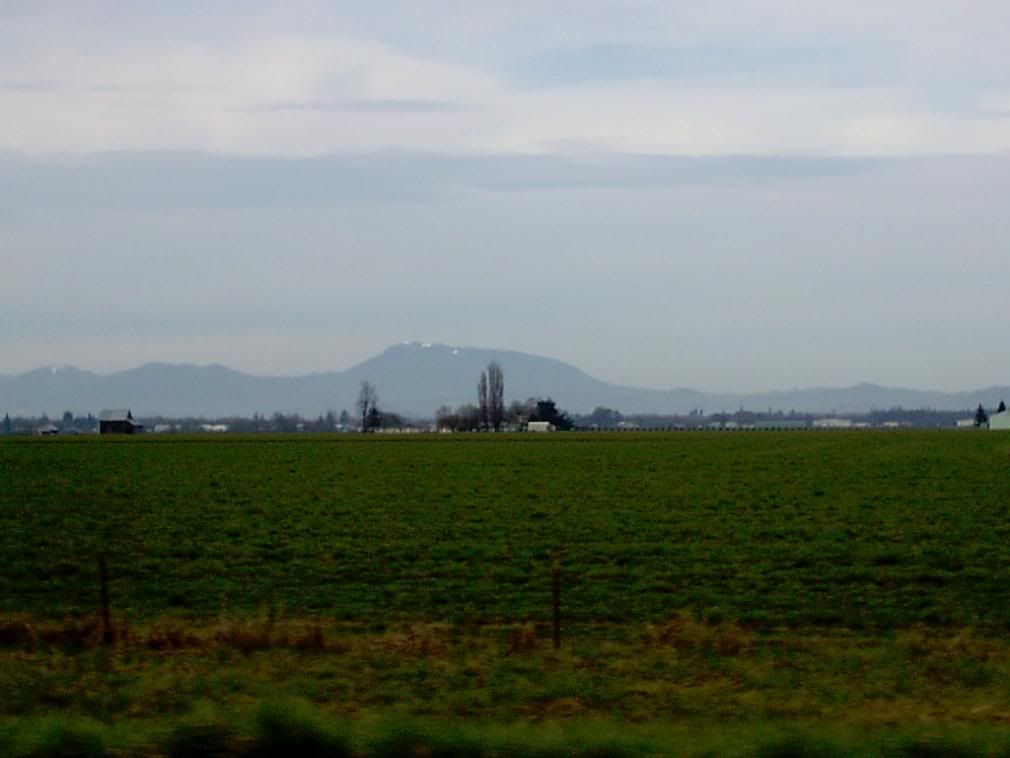
It was just before our first long pause, waiting at the am/pm market at the OR 34/Corvallis Exit (Exit 228) that I got snaps of one of the coolest places in Oregon, the highest point in the Coasties at about 4100 feet, that which the Kalapuyans called Chinitmini, and a place with the most stunning summer nighttime views of Corvallis city lights. Ladies and Gents, I give you: Marys Peak (the name officially has no apostrophe, mind):
That sugarloaf in the distance is a beautiful place, a romantic place for The Wife£ and me, and still has some snow on the top in March. And, a better one:
And this is where we pause. The next leg of the trip will explore the view from the car in Southwestern Oregon – it's the part with the bumpy bits, you know.
Tags: Oregon, Willamette Valley, Interstate 5, Marys Peak, Oregon Scenery
Powered by Qumana

No comments:
Post a Comment