Nota Bene: This post was submitted as part of this weeks Sarcastic Mom's Weekly Winners, which I stay far too aloof from. Or maybe my life doesn't have such notable occurrences – who else would make of a drive to Sacramento the stuff of The Odyssey? But that's me for you.
1420. In Part The Last I spoke of the wild, wide, beautiful spaces of southwestern Oregon – an area that's a part of my home state but oh, such another world. I've been through a few states, and states like, say, Illinois are one sort of thing all the way through. But Oregon is hills and mountains, forest and flats, deserts and seas capped off with these amazing volcanoes.
It's no wonder people want to come here.
But I am Oregonian, native-born. Raised on a diet of the original Bottle Bill and Tom McCall, I was raised to be smug about being here; being a native Oregonian means this place is my birthright. I have always thanked whatever force caused this happening to have made it so.
This means that, at least once in my life, I've done my share of California-hating. The thing about growing up in Oregon when all the Californians were coming here back in the fin de sicele days of the 20th Century, the typical import came to Oregon with the idea that Oregon was nice, but their way of life was going to illuminate the bumpkins. So, being from California became a point of scorn.
As time passed and all of us grew up, we realized together that we had something pretty damn special in Oregon. Those who moved here opened their minds to that of the locals and didn't try to remake their new home into the image of the place from whence they came, and those of us who were already here appreciated that.
The reason I say all this is because I want my cards on the table. I, a native Oregonian, one-time California hater, had, until this time never ever been to California. Moreover, I'd always wanted to visit. So, I may not have known what I was mocking in the Cali; but there is home town pride.
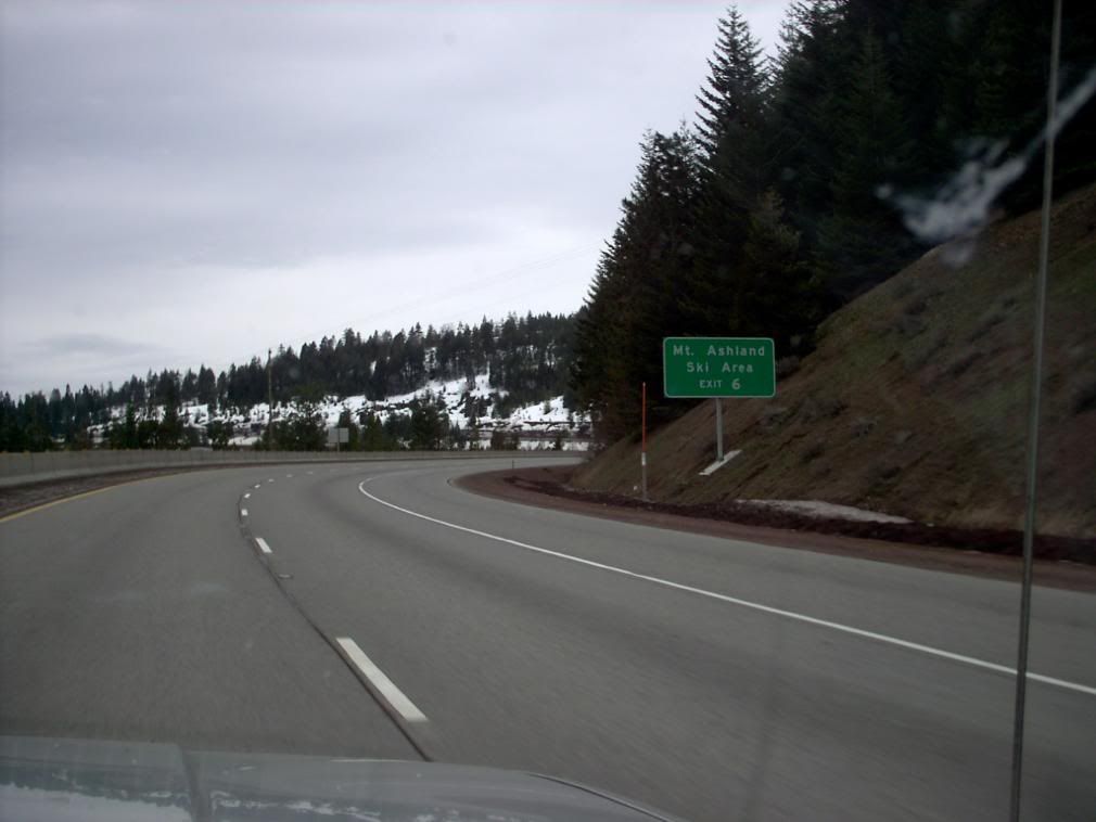
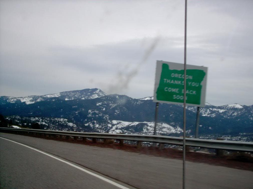
So, there I was, zooming down I-5 past Ashland, with terra incognita Californica in my face. Actually, I'd not even been south of Ashland, and so I was astounded by the change in elevation – some 2000 feet in less than 5 or 10 miles, or so I'm told. But after we passed Ashland, the road went almost straight up ... and before we knew it, we were crossing the California frontier.
Yes, those hills in the distance are, by arbitrary human fiat, in the State of California. I swear, I can smell the celebrities from here.
Seriously, of course, not. At this point, however, it's a brisk world; it's cold, you're about 4,000 feet above sea level. Bracing.
The next amazing thing I saw was the first exit south of the border. If this was an old-fashioned road, it would be but a wide spot in it; Hilt, California. Exit 796.
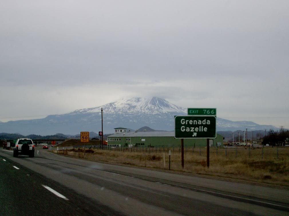
Exit 796. That's a big number for an exit. Sadly, I missed it, but as we closed in on Mount Shasta, there was another exit whose sign I did catch:
Thus we can see that somewhere in the vicinty of Shasta roams the Grenada gazelle, whatever that might be. There seemed to be none to see today.
It's said that, prior to 2002, there were no exit numbers on any California highway. The exit numbers on the signs had this afterthought-y look on them, but everything was readable. There still were no mile markers; if I forgot what was the last exit number there's no way to know where you are really. But the scenery was beautiful, despite the steel-gray Oregon-like sky.
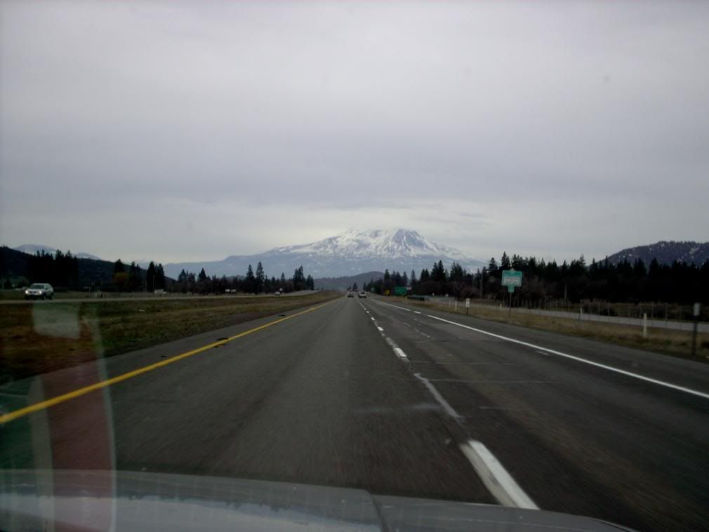
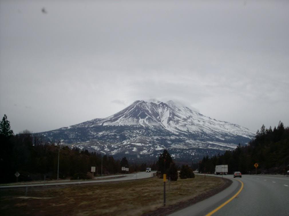
The highlight of this phase of the trip was indeed Mount Shasta. Some hold that it's the home of elves and hobbits. Some others hold that UFOs have a base there. I just think its a striking mountain, reaching 14000 feet in elevation from a knobbly plateau 4000 feet ASL.
The interstate offers, as locals know, numerous opportunities for views. As I mentioned, I was staggered to realize just how close we came to the base of it. If there was any mythological touchpoint for me, it was the idea of the Lonely Mountain that Smaug inhabited. I bet Tolkein would have agreed that it looked much the same.
I had heard that Shasta had this big ol' parasite cone, Shastina, but from this angle, you're viewing the two peaks in-line, which means that Shastina seems to form the facing flank of the mountain.
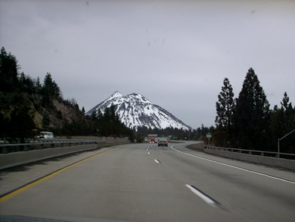
A satellite cone is a hill called Black Butte, and if The 5 seems to come right up to the base of Shasta, it in fact comes straight up to the base of Black Butte.
Black Butte is a handful of miles west of Shasta.
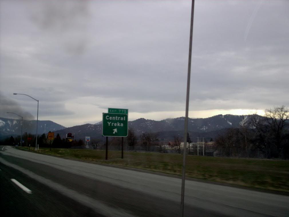
On we went, in and out of steep narrow valleys with views of the upper Sacramento River, past towns like Weed and Yreka ...
... and Dunsmuir. It was like southwest Oregon, only moreso.
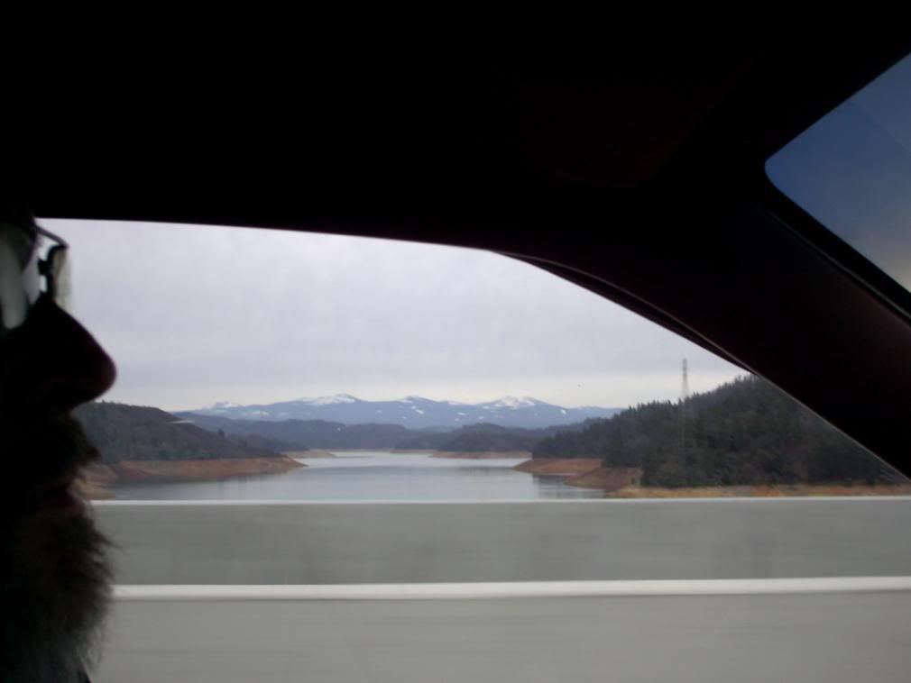
Eventually the road lowered a bit, and I got my first look at something I'd always wanted to see, Lake Shasta, with it's bathtub-ring:
It seemed low to me. The bit of face on the left there belongs to the owner of the car, known in the SCA as Ciaran Cluana Ferta, and a very valued friend.
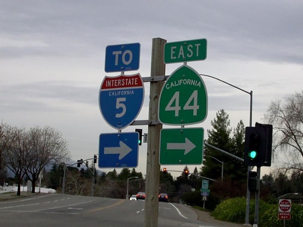
Next stop; Redding. There was a Shell station about a mile west of The 5 on CA 44, a place where I saw this sign:
Damn you, California, must you always be so stylish? Hey, ODOT, take a hint. We can do so much better for our state highway shields ... if California can put the state name on with a jaunty arc ... c'mon you guys, get on it.
Or you can contract me to do it. Just puttin' that one out there.
Another interesting difference is the word "CALIFORNIA" in the I-5 shield. At one time, all Interstate shields were this way for every state. One delightful point is that on the interstate shield and arrow, at the bottom, is a little boxed notice (which you can barely see in this photo) that says that the Interstate signage belongs to the State of California.
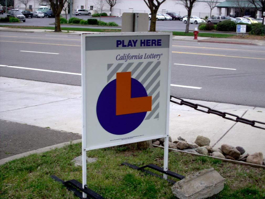
This is what the lottery looks like in the Cali:
And this was gas prices when we were there:
This is where I saw my hoped for liquor-at-the-checkstand. Big plastic bottles of Jack and Smirnoff. It's still weird to me.
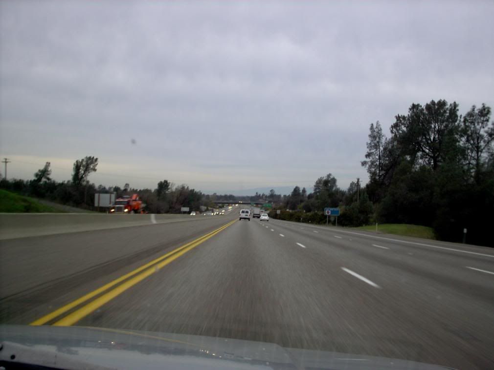
Back on the road, and south. After Redding, the Sacramento Valley floor opens up in earnest. And with this photo, I got a real gut sense that the valley was opening up in front of me:
That sinking grade in front of me there felt like the end of the hills. By this time, we were going under 1000 feet in elevation, and the big wide Sac Valley was in front of us.
Regrettably, by this time it was nearing 5:30 pm, the light was failing, and our driver had to pull over so that I could take over (he has limited night vision), so no more pictures from here on out. The 5 from Redding and Red Bluff to Greater Sacramento is long and fairly boring in the twilight; as we closed in on Sacramento I felt rather as though we were space travellers. For a bathroom break we stopped at Maxwell, a Califnornia farm town that must have been all of eight blocks by seven.
After departing PDX around 0730 and with attendant delays, we finally pulled into Sacramento around 1900. Twelve hours on the road.
Now, there's a bit of sardonic comedy here. Being an Oregon bumpkin, I have images of California engendered by effectively decades of TV consumption. California, for example, is the sort of place where one can find oneselves, at any time, strolling by a hotel pool with a mixed drink in hand. This sort of thing never happens in Oregon.
Let it be said about West Kingdom Heralds; they know how to throw a party. There was a meet-n-greet at the conference hotel which we went directly after offloading our carp; there was coconut rum there. I met some good folks and some legendary folks and some very ebullient folks (actually, that last on is pretty much true of SCA Heralds everywhere you go).
And, before I knew it, I was strolling by the pool with a mixed drink in hand.
So, see, some dreams can come true.
Next Chapter: the return. Stay tuned.
Tags: Sacramento, Redding, Red Bluff, Shasta, Shasta Lake, Yreka, Weed, I-5, California, SCA Heralds
Powered by Qumana


7 comments:
Shasta is beautiful! :)
The mountain pictures are beautiful. Looks like a fun trip.
I grew up in mountains....but now live in a flat place...pictures like that make me homesick. Beautiful shots.
Those are great - I love road trip pictures.
Nice piece. As a Siskiyou County resident (Dunsmuir), it's interesting to hear a visitor's take on this area. As for the "Grenada Gazelle" exit sign; Grenada and Gazelle are two separate communities in the county. If you'd taken that exit, you would have turned left to go to Grenada and right (and then left) to get to Gazelle. Not much to see in either community - they are both very small even by county standards.
@Rebecca, HRH, tasina, cathy: thanks for the plauds. I adore our Cascade mountains, and Shasta was particularly beautiful. Moreover, I now know what California looks like. And the northern part is pretty nifty, actually.
@Dave: since I was going on at length I didn't say everything I wanted to say about the Shasta Cascade. What a singularly beautiful place (and this is from a smug Oregonian!). Those little towns are so charming, even zooming by on The 5. Dunsmuir itself looked like some picturesque coastal town someone planted in the mountains.
Seriously?... I also like the way the name Dunsmuir sounds.
My wife and I have a goal of driving through there sometime in the (hopefully) near future ... and not on such a rocket ride.
I got it about Grenada and Gazelle, but sometimes you just read a sign a certain way. Now I wish someone would come up with a watercolor of a Grenada gazelle...
Tasina, another comment:
You mentioned living in a flat place and I know how dreadful that can be. I had to spend some time in Illinois when I was younger – I swear, it nearly pitched me into a depression!
Give me Cascade volcanoes any day!
Post a Comment